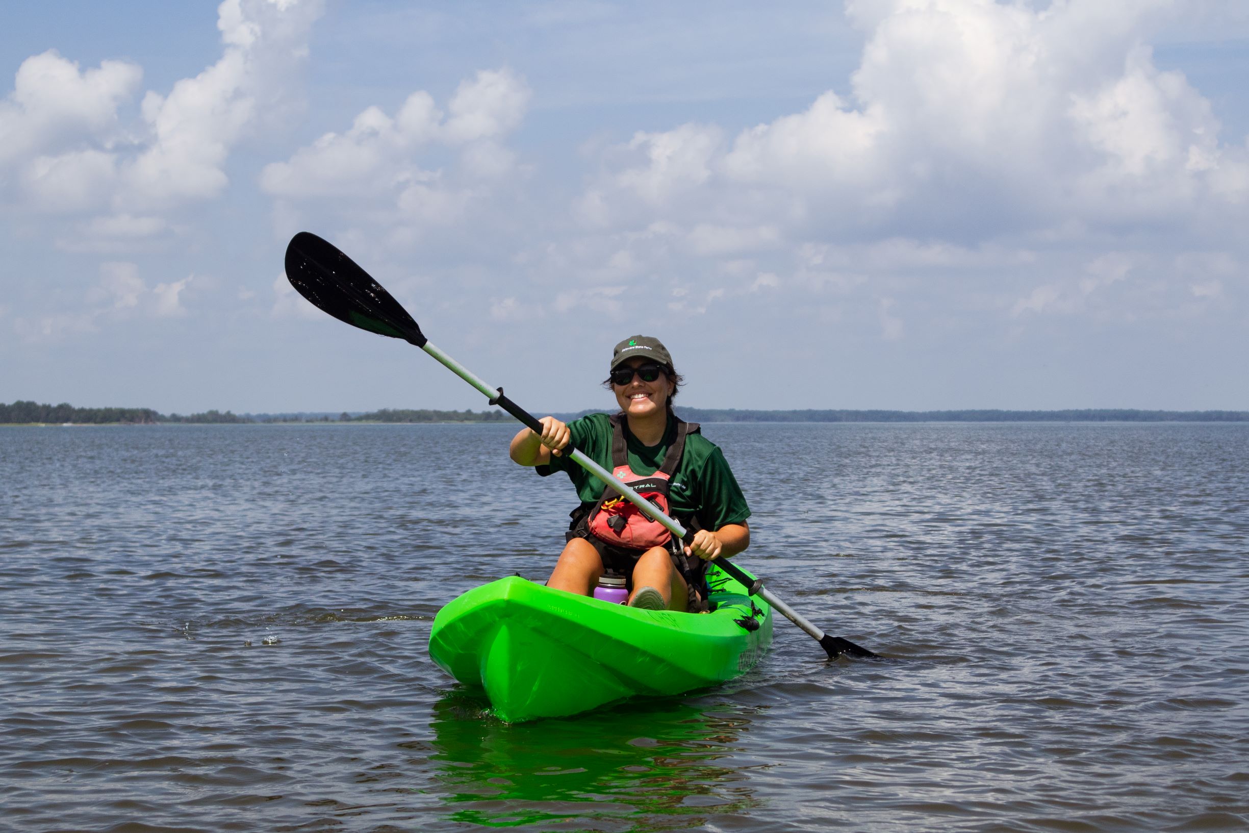
By Laura Scharle, Interpretive Programs Manager at Delaware Seashore State Park
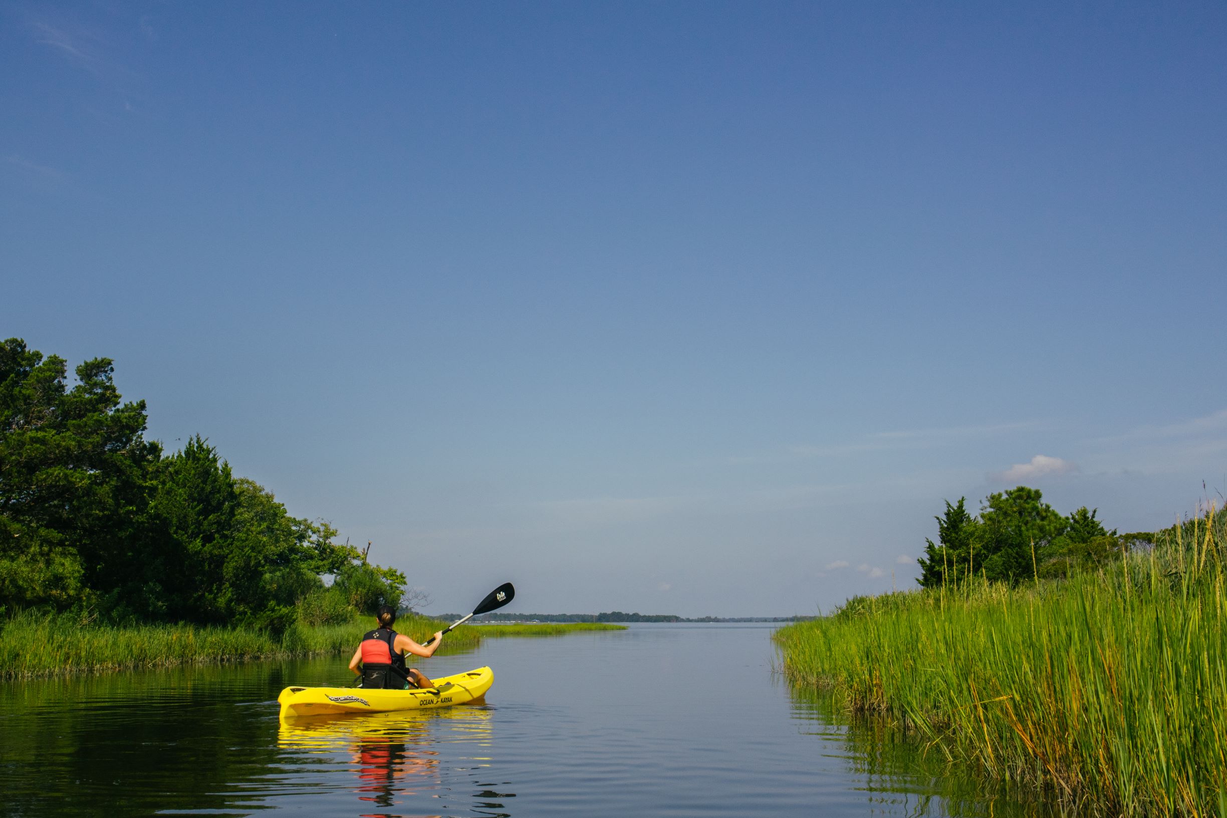
The 6.5-mile stretch of wild coastline between Bethany Beach and Dewey Beach – Delaware Seashore State Park – is a gem of preserved land in a quickly developing region. Known for the Indian River Inlet and beautiful, expansive beaches, most visitors overlook the miles of water trails located on the bayside of the park.
There are four locations in the park along the edge of Rehoboth Bay to launch kayaks and paddleboards: Tower Rd, New Rd, Savages Ditch Rd, and the Burton Island causeway. Here’s a run-down of what it’s like to launch at each location, starting at the north.
Tower Road
Tower Road is located at the northernmost end of the park. Please note that Tower Rd extends on both the east and the west sides of the highway. The east side will provide access to the ocean, guarded beaches, and a bathhouse. The west side provides easy access to Rehoboth Bay but has fewer facilities (just port-o-johns and picnic tables). Paddling from Tower Rd is not a favorite choice for park staff, as it’s mostly just an open expanse of the bay, with little wildlife to see. However, for advanced paddlers, this is a good launching point to explore the shorelines of Thompson Island Nature Preserve, located over a mile to the northwest. The preserve is part of Delaware Seashore State Park, but landing kayaks and hiking on the island itself is restricted. Stockley creek, which wraps around the island to the north, makes for a beautiful paddle through the marsh, but be prepared for boat traffic and wind as you cross the bay – it is NOT a trip for beginners!
New Road
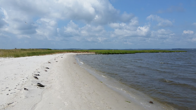
New Road has a similar vibe to Tower Road, but if you head south and hug the shoreline, there are several sandy beaches to get out and explore along the way. In fact, this is just about the only sandy beach to safely explore on the bayside of the entire park!
Savages Ditch
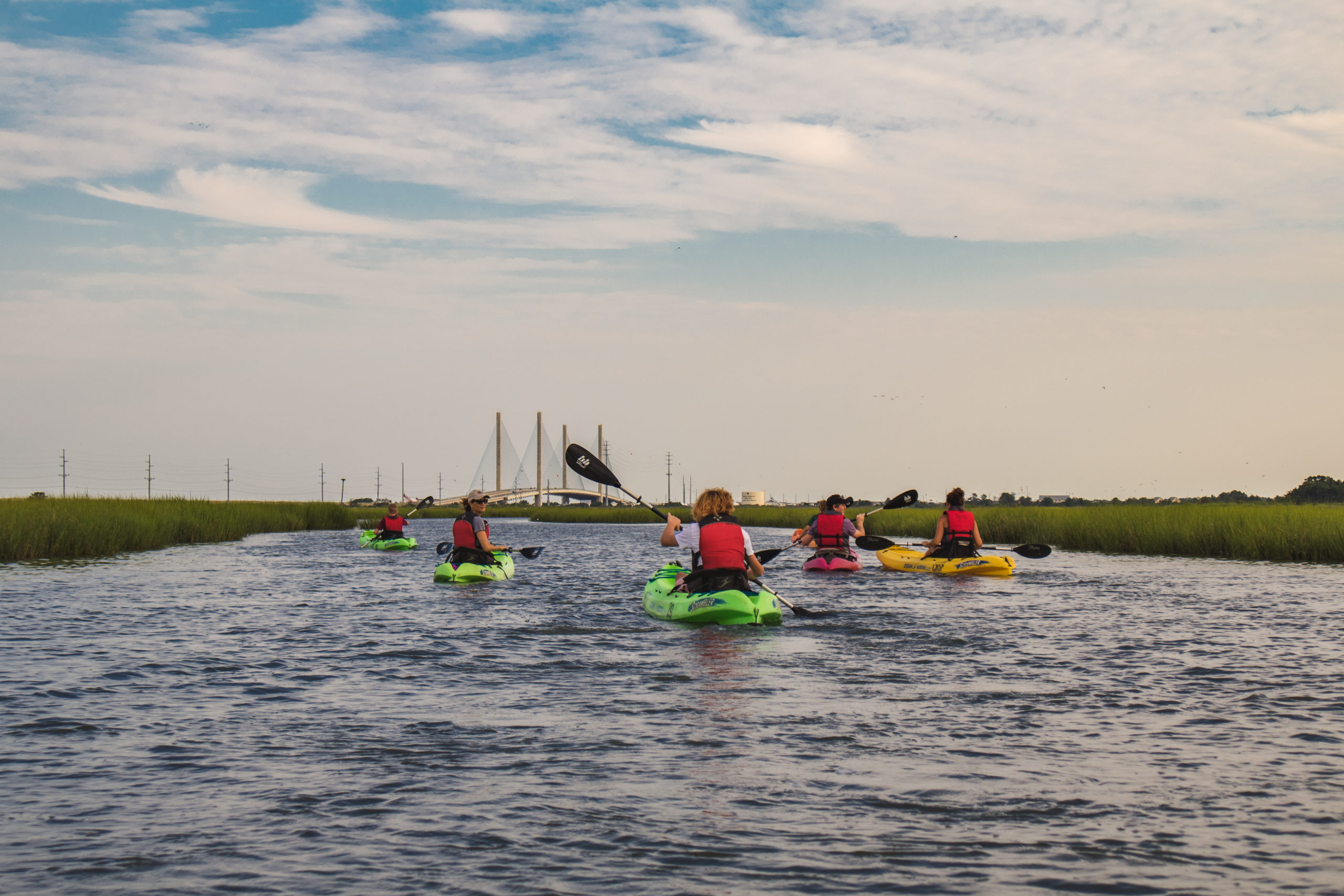
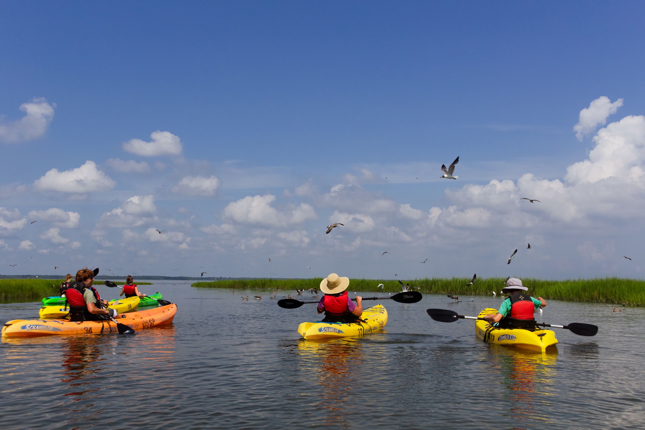
Heading further south on Route 1, you’ll eventually come to Savages Ditch, located on the bayside just south of the Indian River Life-Saving Station Museum. This launch is best accessed during a high tide, as the mouth of the ditch leading into the bay can get very shallow, forcing paddlers to drag their kayaks 50-100 yards at low tide. Otherwise, Savages Ditch is a paddler’s dream! If you head north from the launch, there is an entire labyrinth of marsh creeks, packed with nesting birds, horseshoe crabs, and diamondback terrapins. A detailed map can be found here.
Some of the islands host thousands of laughing gull nests, while others have a mixed-species nesting colony. Snowy egrets, tri-color herons, and glossy ibis have all been spotted nesting in this area. It is important to stay in your kayak and not venture onto land though, as you do not want to disturb any of these bird colonies. Birding along this area is best from May-July, but as the summer nesters migrate at the end of the season, various other waterfowl can be spotted throughout the marsh in the fall. If venturing out after mid-October, please have a good understanding of cold water safety, and avoid waterfowl hunting seasons.
If you’d like to attempt the entire 4.3-mile length of the Terrapin Trail, leave a car at each end of your trip to make for a one-way adventure. Or better yet, sign up for Delaware Seashore State Park’s famous Paddlefest event, held in late August each year. The park also offers guided kayak programs in this area during the summer.
Check out our virtual kayak trip out of Savages Ditch!
Burton Island Causeway
Right next to the Burton Island causeway and hiking trail is a small kayak launch providing access to the park’s Cedar Island Water Trail. We recommend paddling this 2.8-mile loop in a clockwise direction. As you loop the north end and head back south, you’ll be treated to stunning views of the Indian River Inlet bridge.
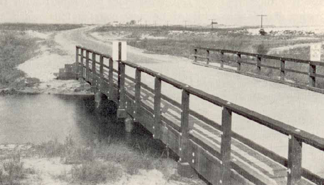
Another fascinating feature along the Cedar Island trail is a chunk of an old bridge, but it is NOT part of an old inlet bridge – despite the rumors circulating the community! Back before the 1960s, there were several smaller bridges that spanned some ditches along Coastal Highway. One of those bridges was wiped out during the great “Ash Wednesday” storm of 1962. The remains of that smaller bridge still sit on the southern side of the Cedar Island trail. Today, gulls will use the hard surface to drop clams and other shellfish on to break them open, and sometimes diamondback terrapins can be spotted sunning themselves on the edges.
For more information about paddling opportunities in Delaware Seashore State Park, contact Laura.Scharle@delaware.gov.
MORE ADVENTURES
January 3, 2025
March 18, 2024